

















Hiking tour

Sellesköpfe

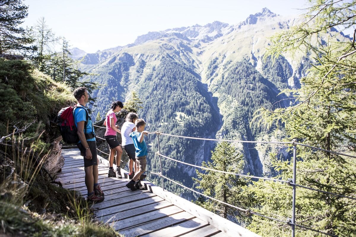
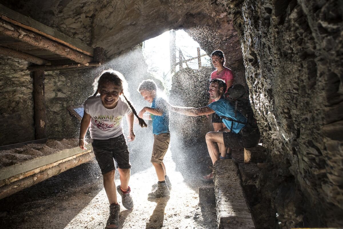
Hiking trail no. 1 starts in Lochmühle. After a few hundred metres, follow Trail no. 2 towards Sellesköpfe. Over a short flat section and through the larch forest the route goes up to the municipal pastures and on to the pastures on Selles. Now a short pass leads in a northeasterly direction to Finstermünz and Bergkastelblick (1,586 m). From here back to the signpost. After a few hairpin bends you reach the highest point of the Sellesköpfe (1,646 m). Now the route goes back over the Langen Boden, past the Zettler Alm and the still very visible positions and rock caverns from the First World War. The marked trail continues down through the forest towards the Schöpfwarte and Norbertshöhe (refreshments available). From there via Hiking trail no. 1 back to Nauders.
3.5:0h
426m
7.5km
Highest point
1653m
Start point
Lochmühle
End point
Mutzkopf Talstation

Similar Tours

Medium
478m | 4h | 8.7km
Hiking tour
Kaiserschützenweg - Selles variant
Begin: Gasthof Norbertshöhe
End: Nauders / Gasthof Norbertshöhe
Medium
1240m | 8h | 16.5km
Hiking tour
Schmalzkopf, 2.728 m
End: Nauders
Difficult
1692m | 13.6km
Hiking tour
Über das Wallfahrtsjöchl vom Kaunertal ins Pitztal
Begin: Parkplatz Wallfahrtskirche Kaltenbrunn
End: Eggenstall (St. Leonhard-Pitztal)
Medium
611m | 6h | 5.6km
Hiking tour
Piengkopf
Begin: Bergstation Bergkastel
End: Bergstation Bergkastel
Easy
280m | 2.75h | 2.2km
Hiking tour
Nassereinalm (2.040 m)
Begin: Gepatsch Stausee
End: Nassereinalm
Difficult
1631m | 8h | 15.5km
Hiking tour
Feichtner Karlspitze
Begin: Feichten 1287 m
End: Kalrspitze 2.918 m
Medium
973m | 6.75h | 9.89km
Hiking tour
Madatschkopf und Mooskopf
Begin: Parkplatz Verpeilalm
End: Parkplatz Verpeilalm
Medium
588m | 4.92h | 13.5km
Hiking tour
Frudiger | Circular Hike
Begin: Parking area Tscheylücke | Pfunds
End: Parking area Tscheylücke | Pfunds