























Hiking tour
Bergkastel mountain hiking trail
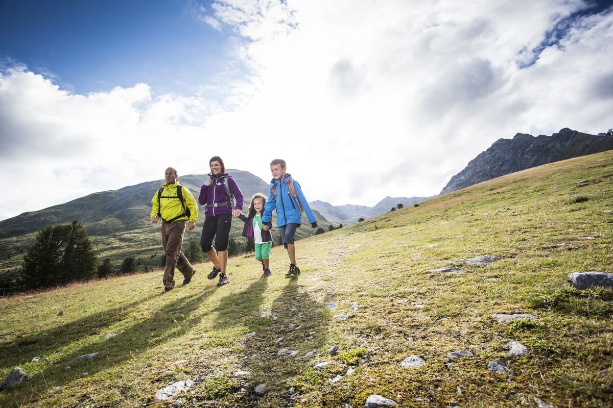
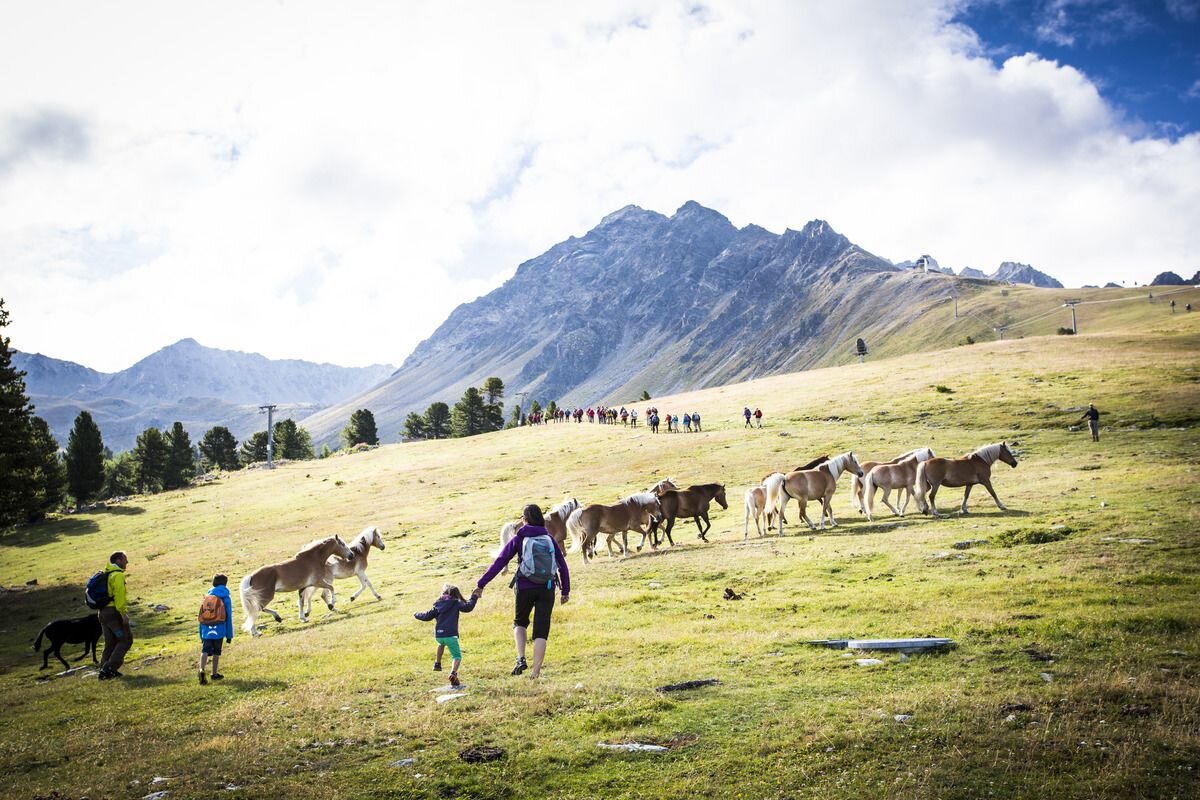


This easy circular route impresses with variety and great views below and above the tree line. The hike begins at the Bergkastel mountain station and leads along the horizontal alpine hiking trail through the old Swiss pine forest to the Almboden pastures. It takes about 40 minutes to walk to the alpine pasture. Hiking trail no. 35a begins here with a slight ascent. Passing the Alptal valley you come to a beautiful viewpoint above the tree line. Then the route goes over alpine pastures, past the “Öttalis Kreuz”, to the top station of the Goldsee lift and via Trail no. 20a down to the top station.
1:0h
85m
2.6km
Highest point
2251m
End point
Bergstation Bergkastelbahn


