























Hiking tour
Gamor - Labaunerköpfle - Labaunalm 2359 m
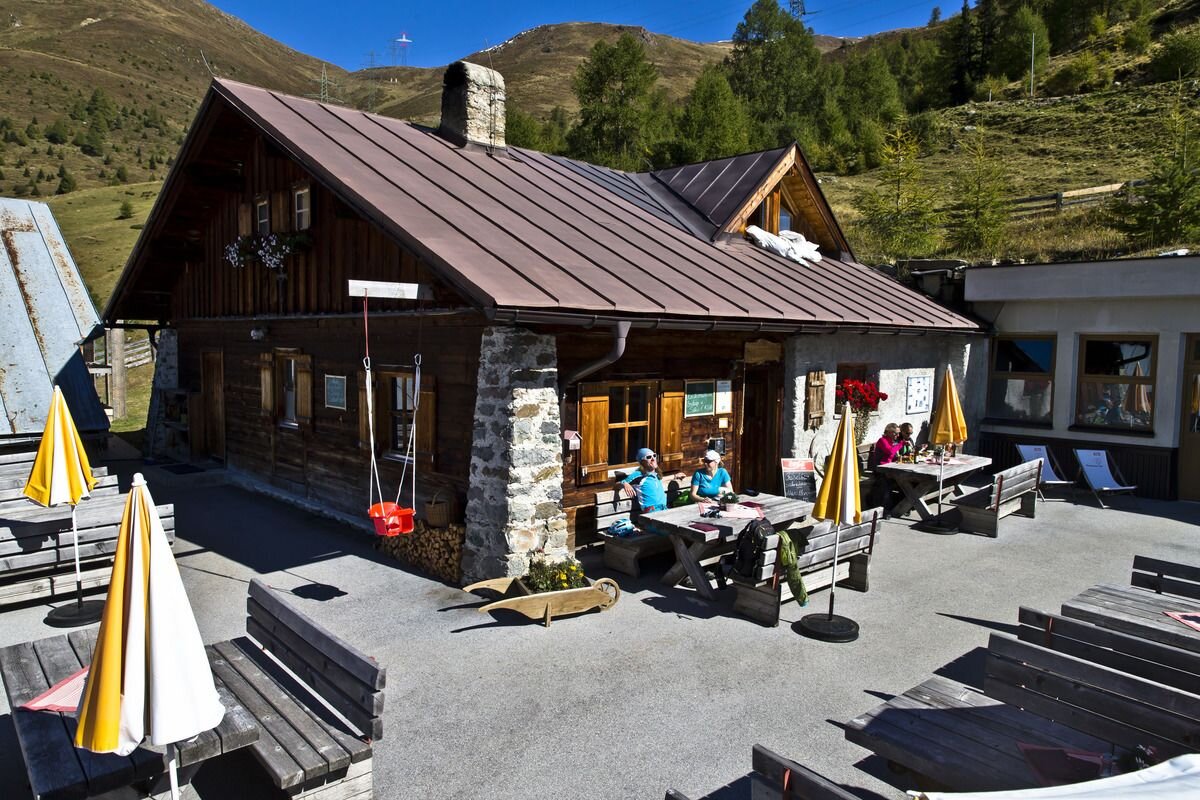
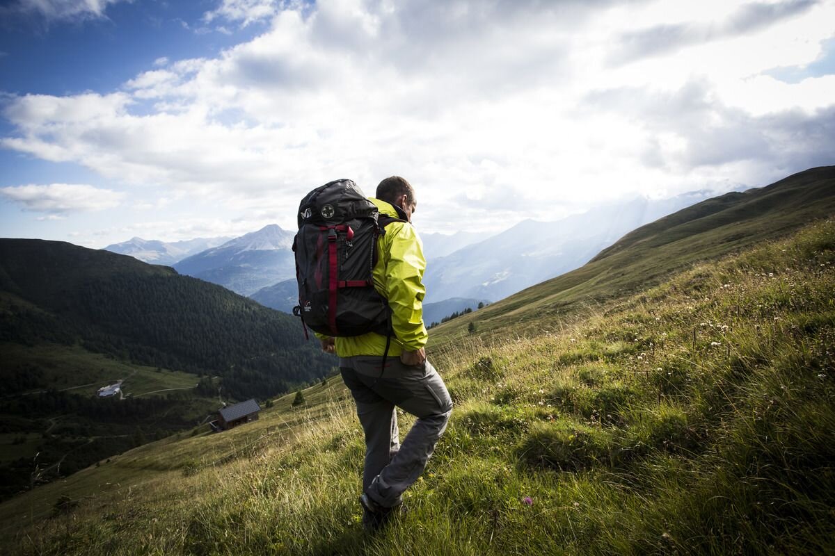


From the village the route goes over an avalanche protection dam into the Valrietal. The narrow trail (No. 17) leads along the stream through the valley, past the Gamoralm (not serviced) to the Nauders mountain trail. From here you follow the Mountain trail No. 30 in a northerly direction. The objective of the hike is the Labauner Köpfl (2.208 m), a magnificent viewpoint on the Nauders mountain trail. Then the route goes downhill to Labaunalm (1,977 m). A bit below Labaunalm, Trail no. 16 leads back to the Parditschhof. The route continues on Trail No. 14 back to Nauders. Whoever wants to avoid the asphalt road, can alternatively descend to Nauders via the old Parditschweg and Munt (No. 14a). Both Labaunalm and the Parditschhof are pleasant places to stop.
tour1
5.5:0h
879m
11.1km
Highest point
2216m
Start point
Nauders
End point
Nauders


