























Hiking tour
Sellesköpfe
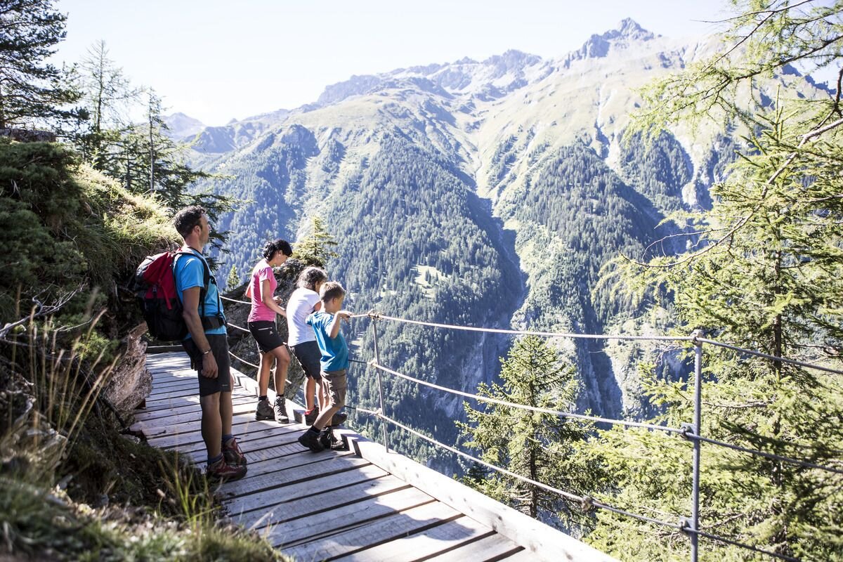
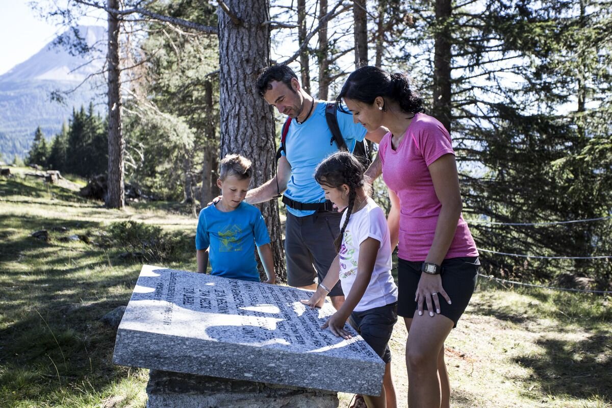
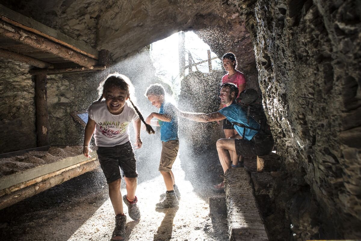


Hiking trail no. 1 starts in Lochmühle. After a few hundred metres, follow Trail no. 2 towards Sellesköpfe. Over a short flat section and through the larch forest the route goes up to the municipal pastures and on to the pastures on Selles. Now a short pass leads in a northeasterly direction to Finstermünz and Bergkastelblick (1,586 m). From here back to the signpost. After a few hairpin bends you reach the highest point of the Sellesköpfe (1,646 m). Now the route goes back over the Langen Boden, past the Zettler Alm and the still very visible positions and rock caverns from the First World War. The marked trail continues down through the forest towards the Schöpfwarte and Norbertshöhe (refreshments available). From there via Hiking trail no. 1 back to Nauders.
3.5:0h
426m
7.5km
Highest point
1653m
Start point
Lochmühle
End point
Mutzkopf Talstation


