


Mountainbike tour | ...
759 | Asterhöfe Tour

Opening status | Closed
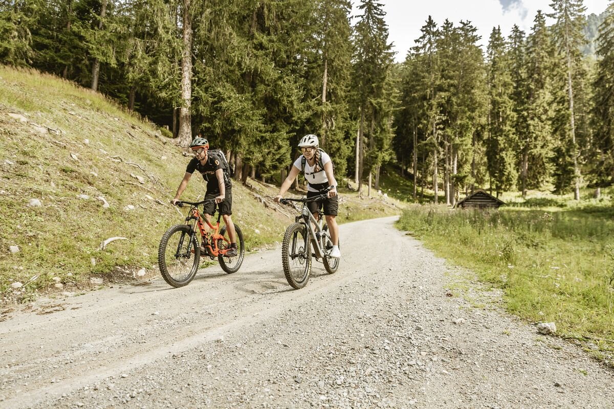
This tour is the best way to explore the Inntal valley and the high plateau above it by MTB: It starts from the information office in Prutz, then leads high above the Inntal valley to the villages of Ladis, Fiss and Serfaus and
then along the cycle path to the valley villages of Tösens, Ried and Prutz. A partly steep but tarmac road leads uphill at Entbruck to Ladis. Alternatively, the steep ascent can be bypassed via a
be bypassed via a forest track. To do this, follow the Pontlatz road until shortly before the Pontlatz bridge and then turn left onto the forest path towards Asterhöfe to Ladis. After a short section on the forest track
again on tarmac, enjoy the descent to the Ladis town sign, where the Lader Weiher pond awaits after a small hill. Here you have a little time to enjoy the idyllic scenery with the pond, Laudegg Castle and the mountain peaks towering in the background before the next ascent to Fiss. Shortly before Fiss, you can make a stop at Wolfsee lake, where you can linger and cool your feet. Via
Serfaus you descend to Tschuppbach and a little later reach Tösens. The entire route in the Inn Valley runs along the Inn Valley cycle path and the Via Claudia Augusta, mostly away from motorised traffic along the Inn.
The route leads back to the starting point in Prutz through the entire village of Ried.
tour1
750m
29.29km
Highest point
1437m
Start point
Touristoffice | Prutz
End point
Bikepark | Serfaus-Fiss-Ladis


