






















Hiking tour
Bazahler Köpfe
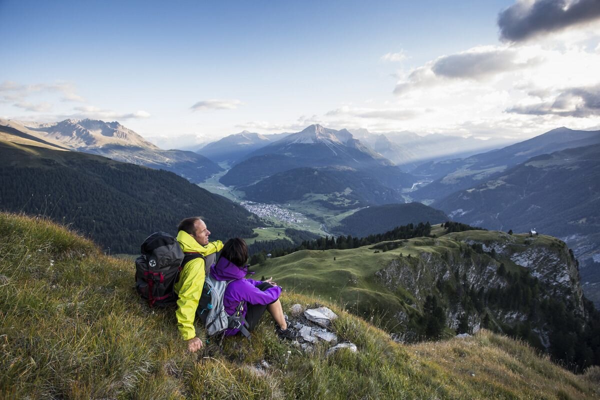
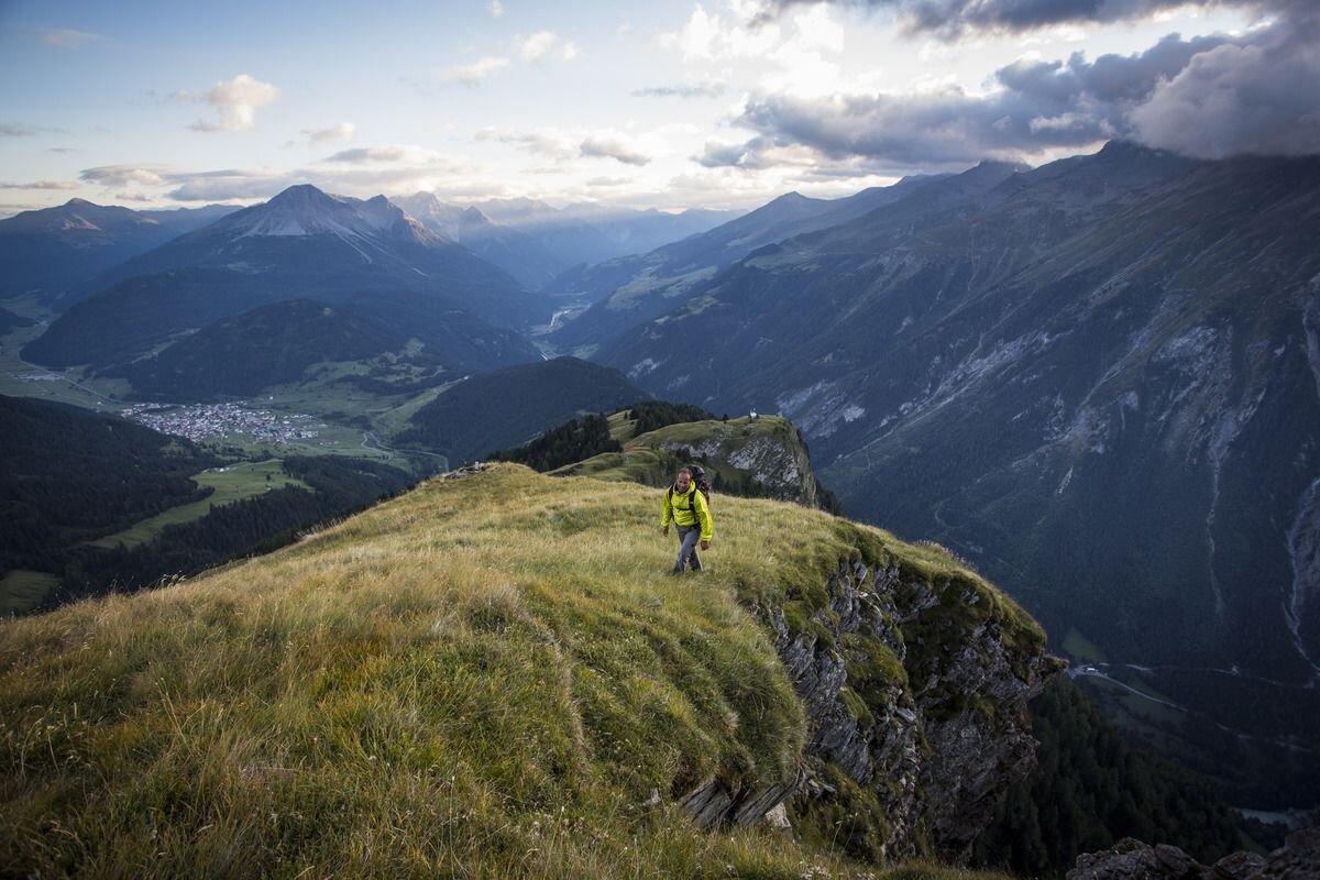


A romantic mountain landscape awaits hikers on the tour to the Bazahler Kopf (2,160 m). The starting point is the parish church in Nauders From there, follow Trail no. 14 towards the Parditschhof. The climb to the Bazahler Kopf (No. 16) begins above. At the crossroads, the old alpine path branches off to the left to Labaun, crosses the meadows and leads to Valdigastei. Further over the Labaunbach you climb through a beautiful, light high forest to the Bazahler meadows. With a little luck you can see some chamois. It is in part a bit steeper over the back, past edelweiss meadows, to the old survey mark on the Bazahler Kopf. The way back on Trail no. 16a leads over mountain meadows, past Labaunalm to Parditsch (cosy places to stop for refreshments). You can get back to Nauders along Hiking trail 14a. Alternatively, you can follow tarmac path no. 14.
tour1
790m
6.1km
Highest point
2161m
Start point
Pfarrkirche St. Valentin
End point
Bazahler Köpfe


