


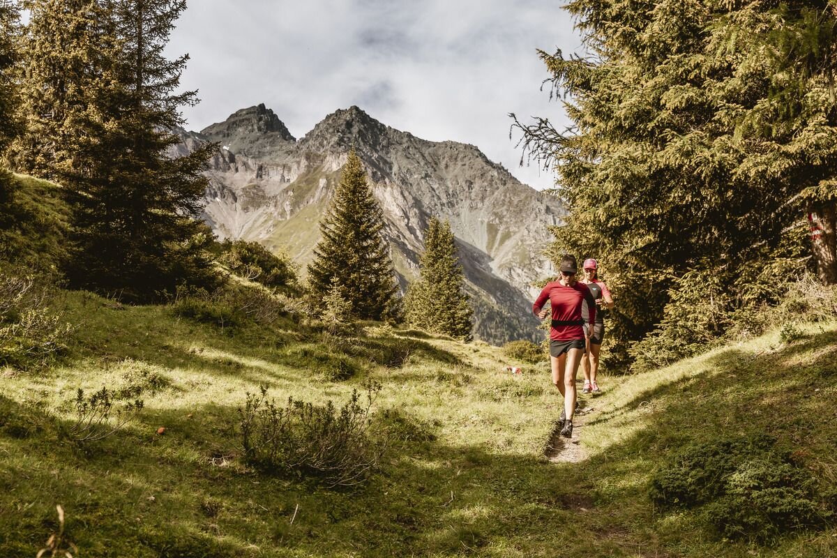
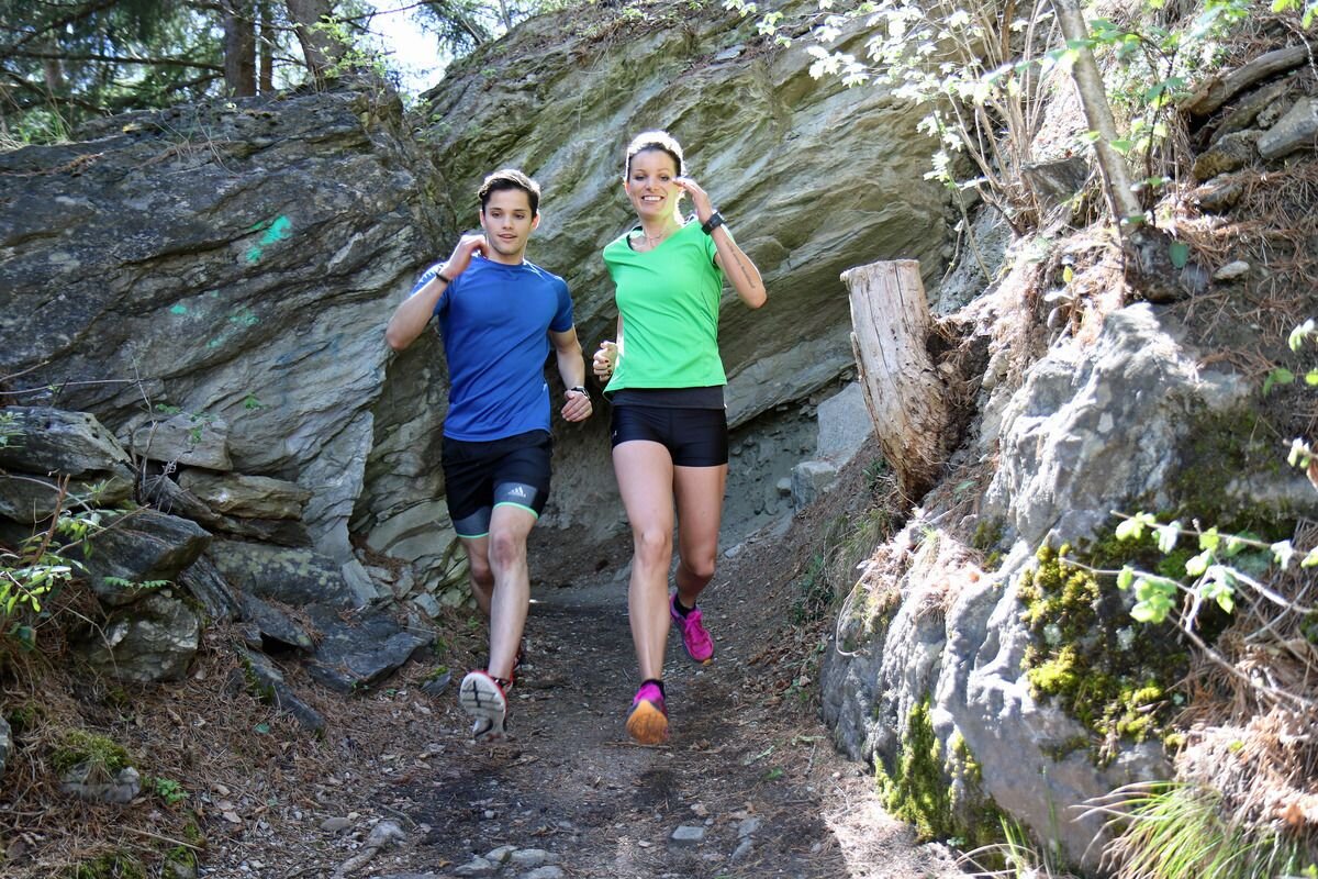
Trailrunning
Klamm-Trail
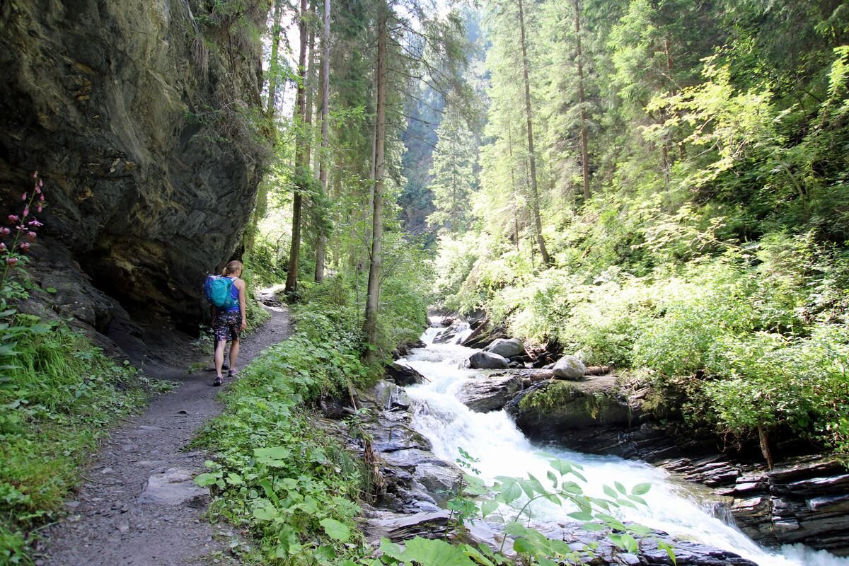


The start is at the information office in Pfunds, for warming up you can easily walk in to the district Dorf - Stampfau. There the actual trail begins. Over numerous wooden bridges, always uphill along the mountain stream until you reach the so-called "Bretterloch", keeping to the right, follow the trail to Radurschlweg. Follow this out of the valley until the path branches off to the St. Ulrich's Chapel (a short stop to enjoy the view is worthwhile). Follow the Way of the Cross back down to the village.
Caution: in case of rain and wet: risk of slippage & rockfall!
Important Note status report!
Caution: in case of rain and wet: risk of slippage & rockfall!
Important Note status report!
tour1
360m
7.2km
Highest point
1316m
Start point
Infobüro Pfunds
End point
Infobüro Pfunds


