























Hiking tour
Nauders mountain trail
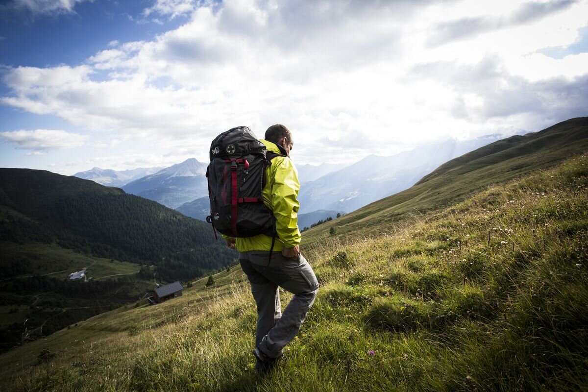
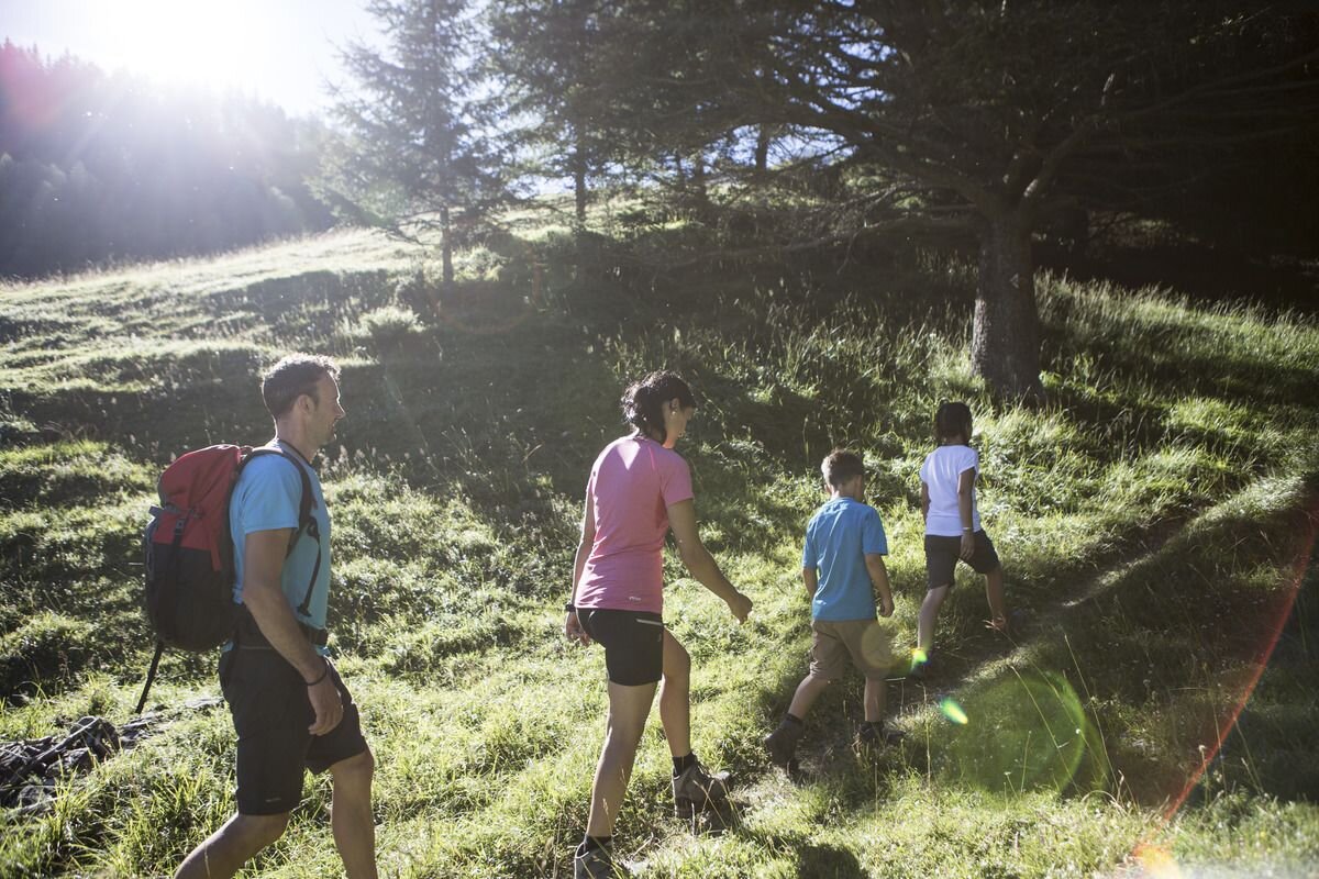


The varied, eleven-kilometre-long high-altitude panorama trail is one of the most beautiful hiking trails in Nauders. It leads at an altitude of around 2,000 metres, slightly descending or ascending from the Bergkastel pastures to Labaunalm. Most of the route runs above the tree line, through various vegetation levels and offers wonderful views. The hike can be shortened as desired via descent options in Valdafur, on the Stableshochboden or in the Gamor. Starting from the Bergkastel mountain station, you follow Trail no. 30 over the Ganderbildbach and through an old pine forest. Past Piengalm to Valdafuralm, we continue to the Stableshochboden and Novellesboden. After crossing the Ferminz valley you reach the Gamor. Then the route goes through the Kessel that flows into Parditschtal. The descent from Laubauner Köpfl leads to Labaunalm. Along Trail no.14 you reach the Parditschhof and Trail no.14a (Munt) takes you back to the village. Labaunalm or the Parditschhof invite you to stop.
tour1
7:0h
407m
18km
Highest point
2222m
End point
Nauders


